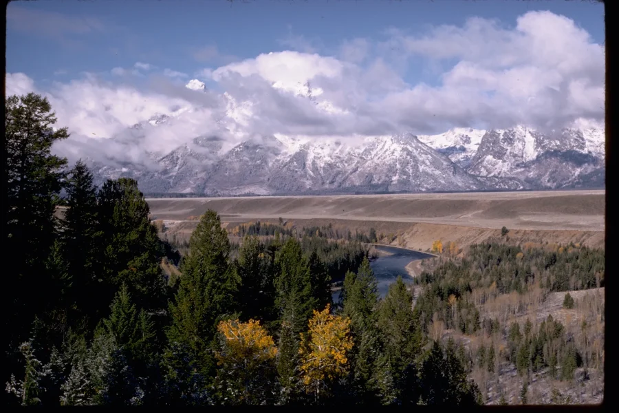
A map often renders the Snake River as a single blue line. In the field, the river occupies a wider and more changeable corridor: channels divide and rejoin, gravel bars interrupt the surface, side water reaches willow and wetland, and forest marks relatively stable ground.
Water carries the range into the valley
The river does not merely pass beneath the Teton skyline. It transports sediment produced upstream and reworks material already stored in the valley. Current, ice, woody material, seasonal flow, and channel shape influence where gravel accumulates and where water cuts. A dry-looking bar can still belong to the active river system.

Scenic Float Trip on the Snake River in Grand Teton National Park
Experience the beauty of Grand Teton National Park with a scenic float trip on the Snake River. This guided tour offers a unique opportunity to explor...

Private Scenic Snake River Float - Grand Teton Nat'l Park
Discover the natural beauty of Grand Teton National Park on a private scenic float trip along the Snake River. This...

Grand Teton National Park Tour from Jackson Hole
Experience the tranquil landscapes of Grand Teton National Park on this easy day trip from Jackson. A must-see Wyomi...
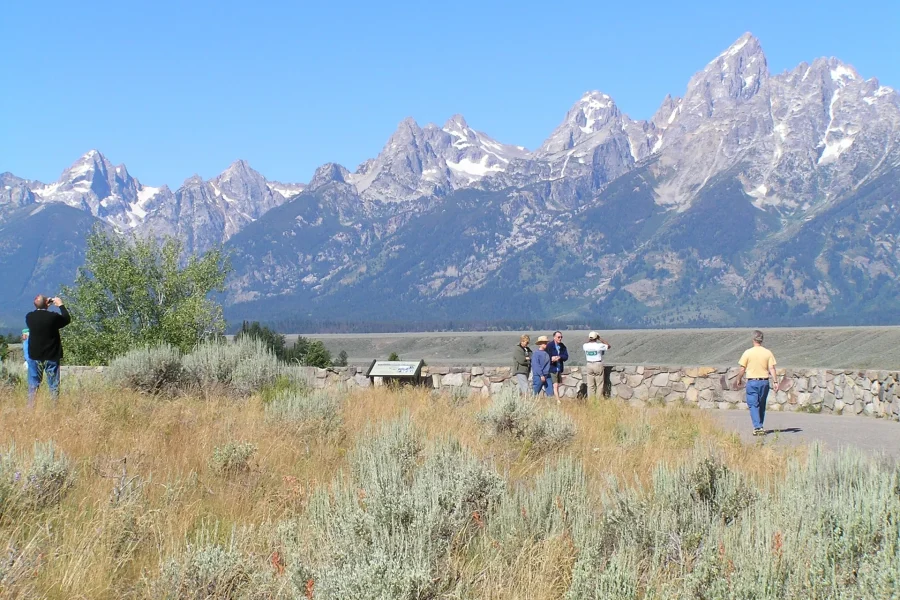
From a lawful overlook, trace the brightest water first, then look for quieter side channels. Compare bare gravel with young vegetation and mature trees. The changes in height and texture help reveal which surfaces are often disturbed and which have remained stable long enough for larger plants to establish.
“Braided” is a stewardship instruction
Thinking of a river as a braid creates useful caution. The corridor may extend beyond the obvious bank. Islands and side channels may support sensitive habitat. Water that appears placid can be cold, swift, or difficult to exit. Never infer safe access from a photograph or from another person’s route.
Check current public information before entering the water or launching any craft. Watercraft inspections, clean-drain-dry practices, permits, closures, equipment rules, and conditions can change. Use the responsible park and state authorities, and complete any required inspection rather than assuming an earlier trip’s rules still apply.
Give the river room in the composition
Photographs often use the Snake River as a narrow foreground accent beneath the peaks. Try a different frame. Include gravel, willow, or a second channel. Leave enough lower ground to show the river’s width and enough distance to place the range beyond it. This makes a more honest landscape: spectacular, but not simplified.
Plan a river observation, not a wildlife chase
Riparian corridors attract wildlife, but no location guarantees a sighting. Scan from a safe distance without blocking a road or approaching an animal. Use current required-distance guidance and obey closures. If an animal changes direction, interrupts feeding, becomes alert to you, or has no clear path, increase distance.
A complete river visit can be built from signs rather than sightings: willow height, bird activity, tracks where lawful to observe, a beaver-altered edge, or the boundary between sage and wet ground. The aim is to see the habitat relationship without turning the observer into the disturbance.
Current sources

Self-Guided Audio Driving Tour in Grand Teton National Park
Download the GuideAlong self-guided audio tour, and you'll discover more on your Catskill Mountains road trip. Frust...
Scenic Float Trip on the Snake River in Grand Teton National Park
Experience the beauty of Grand Teton National Park with a scenic float trip on the Snake River. This guided tour off...
Private Scenic Snake River Float - Grand Teton Nat'l Park
Discover the natural beauty of Grand Teton National Park on a private scenic float trip along the Snake River. This...
Scenic Float Trip on the Snake River in Grand Teton National Park
Experience the beauty of Grand Teton National Park with a scenic float trip on the Snake River. This guided tour offers a unique opportunity to explor...
Private Scenic Snake River Float - Grand Teton Nat'l Park
Discover the natural beauty of Grand Teton National Park on a private scenic float trip along the Snake River. This...
Grand Teton National Park Tour from Jackson Hole
Experience the tranquil landscapes of Grand Teton National Park on this easy day trip from Jackson. A must-see Wyomi...

Yellowstone Lower Loop Full-Day Tour
Yellowstone National Park, Old Faithful, Lake Yellowstone and more! This is a tour of the Lower Loop of Yellowston...
Use Grand Teton National Park for current alerts, water and wildlife guidance, closures, and park rules. Use the relevant Wyoming authority for current state watercraft and invasive-species requirements. Conditions at the decision point take precedence over this evergreen field note.
Scenic Float Trip on the Snake River in Grand Teton National Park
Experience the beauty of Grand Teton National Park with a scenic float trip on the Snake River. This guided tour offers a unique opportunity to explor...
Private Scenic Snake River Float - Grand Teton Nat'l Park
Discover the natural beauty of Grand Teton National Park on a private scenic float trip along the Snake River. This...
Grand Teton National Park Tour from Jackson Hole
Experience the tranquil landscapes of Grand Teton National Park on this easy day trip from Jackson. A must-see Wyomi...

Grand Teton Half Day Tour
Grand Teton National Park in Jackson Hole Wyoming is a must see, truly a magnificent wilderness area. This profess...